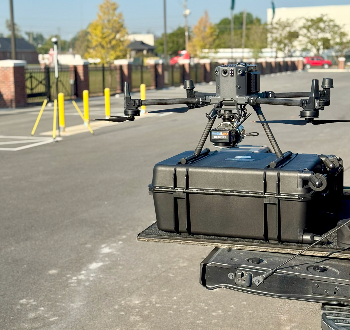
With advancement in technology rapidly changing and ever evolving, there are now tools to assist in the betterment of our day-to-day activities in addition to advanced computations in robotic applications. Within recent years, the surveying and mapping industry has benefited greatly from these technological advances. One of these technological advances is the Unmanned Aerial Vehicle (UAV) drone technology which allows for efficiency in collecting field data and for much faster production of maps.
ASA Engineering & Surveying, LLC utilizes state of the art survey grade UAV technology accompanied with survey grade GPS to acquire accurate and precise field data to assist in the production of maps well within ALTA/NSPS Standards as defined by the National Society of Professional Surveyors. Highly accurate Orthomosaic aerial mapping can be utilized in the production of 2D precision planimetrics as well as digital elevation models (DEM) for topographic maps for legal and/or engineering purposes.
With FAA remote certified (14 CFR Part 107) drone pilots and highly skilled data processing personnel on staff, ASA offers a cost-effective and expeditious alternative for your mapping needs.
UAV Drone Mapping Services:
- Aerial mapping/Orthomosaics
- Construction Activity Monitoring
- Surface DEMs for Engineering Design
- Volumetrics of Stockpiles
- LIDAR Scanning